
SorokoputtogetherwithSt.PetersburgStateuniversitypostgraduatesprovided Sayano-Shushensky and Khakasski nature reserves with hardware and software suites of 2 UAHs together with training program for the nature reserves staff.
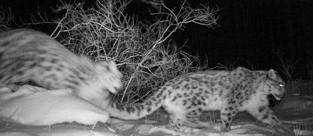
Such suites can be used for fire monitoring, protected area territory control and also for scientific purposes, e.g. ground mapping and animal species population calculation.
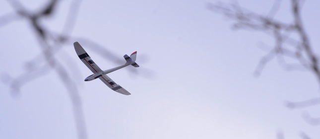
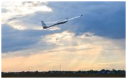
A UAV can hold up to 500g, e.g. a photo or video camera, to the distance of up to 50km, and depending on the wind speed and direction it can automatically adjust the route. A fly can be performed both manually for a shorter distance and automatically by the positioning data set.

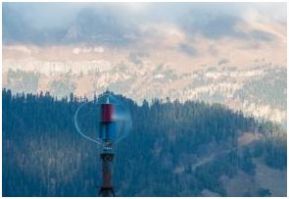 Solar-wind power system at weather station 'Dzhuga'
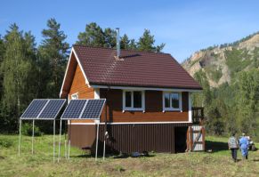 ‘Cordon-200’ energysystematcordon Synzhul


